
Thames 8th Most at Risk City/Town in New Zealand – Whitianga 14th
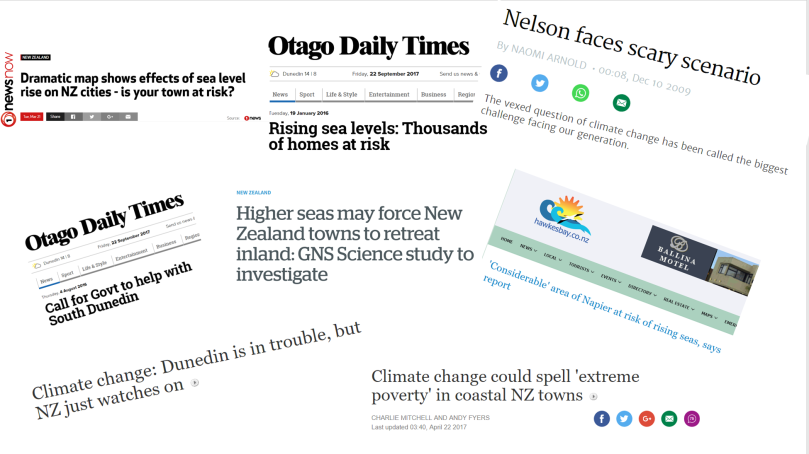
Often the conversations about climate change and rising seas don’t seem locally relevant because they relate to somewhere else – Houston, a low-lying Pacific atoll, or South Dunedin. Now, new information has emerged which confirms that Thames and other low-lying Coromandel Peninsula towns are some of the most at risk places from rising seas in New Zealand.
A NIWA report has counted the number of buildings in the lowest lying parts of New Zealand’s coastline, and assessed their replacement value. This information has then been collated for every large city and small town in New Zealand.
On both building count and replacement value Thames is the 8th most at risk city or town in the whole of New Zealand. This ranking applies for the lowest lying zone up to 0.5 m above sea level through to the 1.5 m level.
Ngatea is ranked 13th most at risk, and Whitianga is ranked 14th.


On a ratio of buildings at risk per capita, Thames is equal with Napier as the most at risk urban area in New Zealand. On this measure, Whitianga is third.

The NIWA Report has counted 302 buildings, including 176 houses in Thames in the lowest most at risk 0 – 0.5 m zone with a replacement value of $44 million.

There are 1596 Thames buildings, including 863 houses in the 0 – 1.5 m zone with a replacement value of $385 million. The values are in $NZ2011 and do not include land values.

Low-lying coastal roads (18.7 km in Thames and 102.6 km in Thames-Coromandel District) and all other infrastructure at risk such as wastewater, stormwater and communication networks has not been valued.
For the up to 3.0m above sea level risk zone Whitianga leapfrogs Thames as the most at risk local town, and Whangamata and Tairua feature in the top 30 most risky towns in New Zealand.

For the whole District, the total replacement cost of buildings ($NZ2011) in the 0-3m elevation zone is $1.4 billion, with Whitianga the most at risk town, with $.70 billion of buildings (only) at risk, and Thames with $0.58 billion.
This must be a huge wake-up call for Thames and other local towns, and should shake us out of our complacency and the prevailing attitude that sea level rise is someone else’s problem. There will be an opportunity for the public to become more informed and have their say at District-wide Council-run workshops in mid-October regarding the Council’s proposed Coastal Management Strategy.
The most optimistic scenario has sea levels likely to rise around 55cm. Recent projections are for at least 1m of rise this century. You can check out the potential for sea flooding with Waikato Regional Council’s inundation tool. The tool “Google maps” the effect of various sea level rise scenarios on local communities. It is important to use the “pre-defined” levels for the town you are looking at as tidal levels differ for each location (see the inset in the following map and this information sheet on How to Use Regional Council Inundation Tool). This map shows the extent of potential flooding with a mid-range storm tide and 0.5m of sea level rise.
We must face the fact that Thames and other Peninsula towns have a very challenging problem. Dunedin, Christchurch and Napier have begun tackling their challenges. Their political leaders have proactively completed hazard mapping and have demanded assistance from central government.
Thames and other local towns are just as threatened by rising seas., and we have the data to prove it. Surely this must galvanize our communities, our local MP, Mayor and Council into demanding our fair share of research, expertise and funding, and to begin adaptive planning. We must not shy away from confronting these issues.
There is still some time for our towns to face this challenge, but the worst approach would be to pretend that sea level rise is someone else’s problem and fail to face up to and plan for what is coming. Make sure you get along to the Council workshops in October and have your say.
See below for various sea flooding scenarios for Coromandel, Te Puru, Whitianga, Tairua and Whangamata
